
A Run on the Old Croton Aqueduct
By Papa Bear
My Introduction to the "OCA"
I have had an interest in Old Croton Aqueduct (commonly called the "OCA") for close to 50 years. When I was a graduate student at Columbia in the 1960s I worked at a lab in Irvington NY and "the aqueduct", as we called it, went right through the property. I asked about it but no one knew much about it. So I went to the NY Historical Society and learned that it was built in 1837 - 42 and it brought water from the Croton River all the way to Manhattan. It ran almost entirely at ground level and was gravity powered.. So I organized a few friends from the lab and we walked first from Croton to the Lab (about half way) and then another day from the lab to Manhattan, One problem was the aqueduct bridge over the Harlem River was closed to pedestrians. And it stayed closed for some 50 years till this year. But I was hardly idle all those years, I have run many miles on the OCA, particularly in Highbridge Park and in various parts of the Bronx, Yonkers, Hastings-on-Hudson, Dobbs Ferry, Irvington and Tarrytown.Fast forward to this year ...
The Reopening of The High Bridge
%20Title.jpg) |
| The High Bridge c. 1850 (click for large image) |
On Tuesday, June 9th, I left home about 7:45 to go up to Highbridge Park for the opening of the High Bridge. (A word on typography: the name of the park is "Highbridge Park"; the name of the bridge is "The High Bridge".) I was told there would be an opening ceremony at 9:00 and then we could cross the bridge for the first time in 50+ years. But when I got there about 8:40, it was already open and there was no ceremony. Oh well, whatever. It was a cloudy, drizzly day which was unfortunate since I wanted to get some good pictures. Too bad, we do the best we can.
There were just a few folks out on the bridge, maybe 30 or 40, and it was very casual. People took photos of others or themselves and we looked into every nook and cranny of the bridge. And the views — up and down the river the views were marvelous. I had seen the bridge many times over the years (back to the late 1960s), but always with a big metal gate across the entrance, and for the last 2 or 3 years with a construction fence and the bridge itself with scaffolding and coverings. But Tuesday was the day.
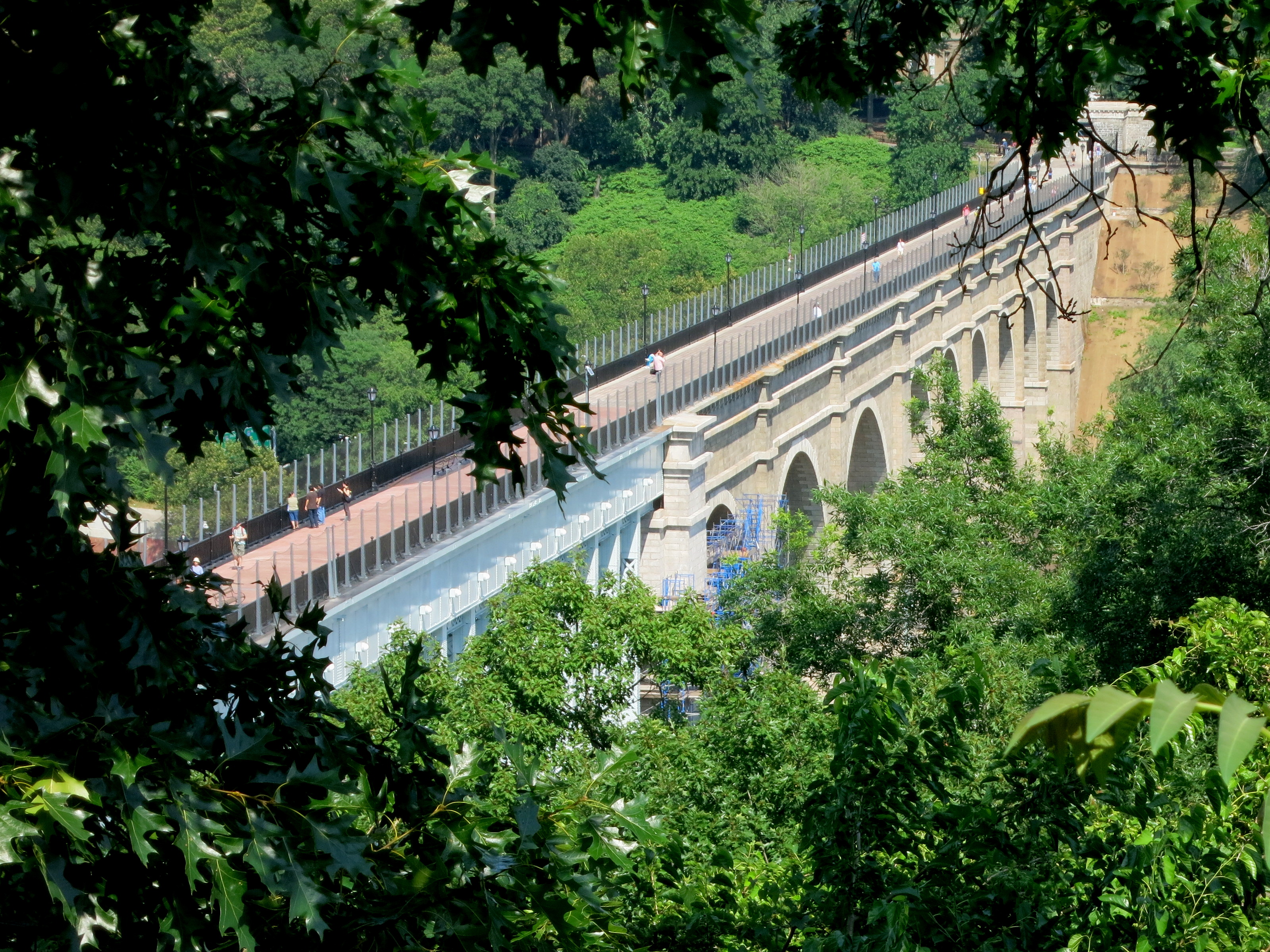
The High Bridge looking Down from the Top of the Stairs
(Click for Large Image)
I decided to intersperse my photos in the slideshow with a number of
historic pictures all the way back to the 1840s. The pictures tell the story.
What more is there to say? I went there, walked across and back and took
a bunch of pictures. But the story actually goes back some 165+
years and you can be sure I'll be running over it in less than a week. (Click for Large Image)
The slideshow is a must for this post since some of these photos are worth more that a thousand words! When it's done, close the slideshow tab and come back here.
When you run the slideshow I suggest you turn the rep rate up (or is it turn the rep rate down?) so you can take time to read the captions. The default is just 3 seconds. I find 5 or 6 seconds works for me.
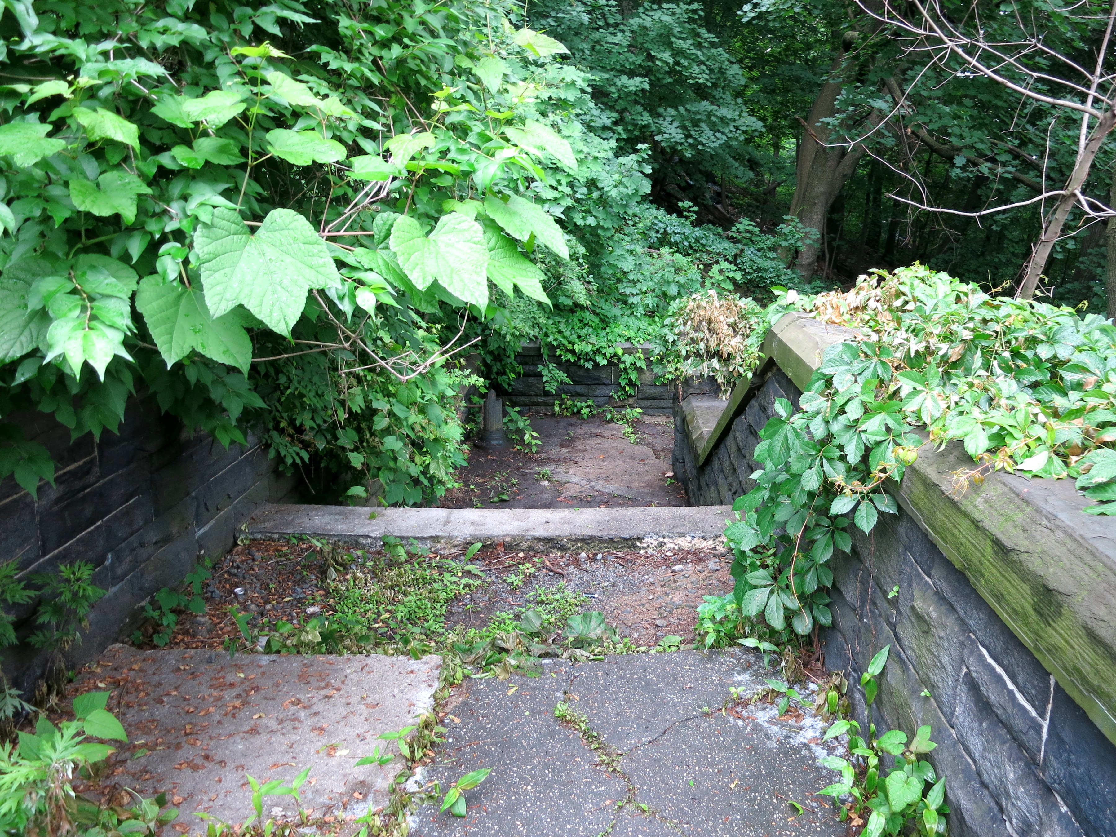 |
| The Grand Staircase could use some work |
An OCA Run from Highbridge Park to Van Cortlandt Park
Once I had done the bridge, I could not wait to do a run of the OCA, over the High Bridge, then up through the Bronx. Van Cortlandt Park was a good target since I was in no shape to run much farther. And besides since I planned to document it, it would pay to break it up into bite sized pieces (about 5 miles each) so others could put several pieces together as they wished. So I did it — twice.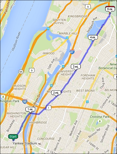 |
| Click for the on-line USATF map (click for large image) |
I you look at the map at the top you might think that after crossing the High Bridge, the OCA follows virtually a straight line all the way to Van Cortlandt Park. Well, in 1839, it pretty much was a straight line. But in the meantime all the streets were put in plus 2 major bridges across the Harlem River (The Washington Bridge in 1889 and the Alexander Hamilton Bridge in 1963). So the details are worth a few words.
Two things will help 1) the map (next section, below) shows where we have to detour off of the original route and 2) the slideshow shows all the details. The slideshow is important since it show what the text can't easily explain.
Highbridge Park and The High Bridge
The first part is in Manhattan within Highbridge Park. Take the C train (NOT the B train) to 155th Street and when you get out of the station you are standing on the OCA. Then again you could run here, no? This is, after all only a 5 mile run. I've done it many times but for now I'll leave that up to you.
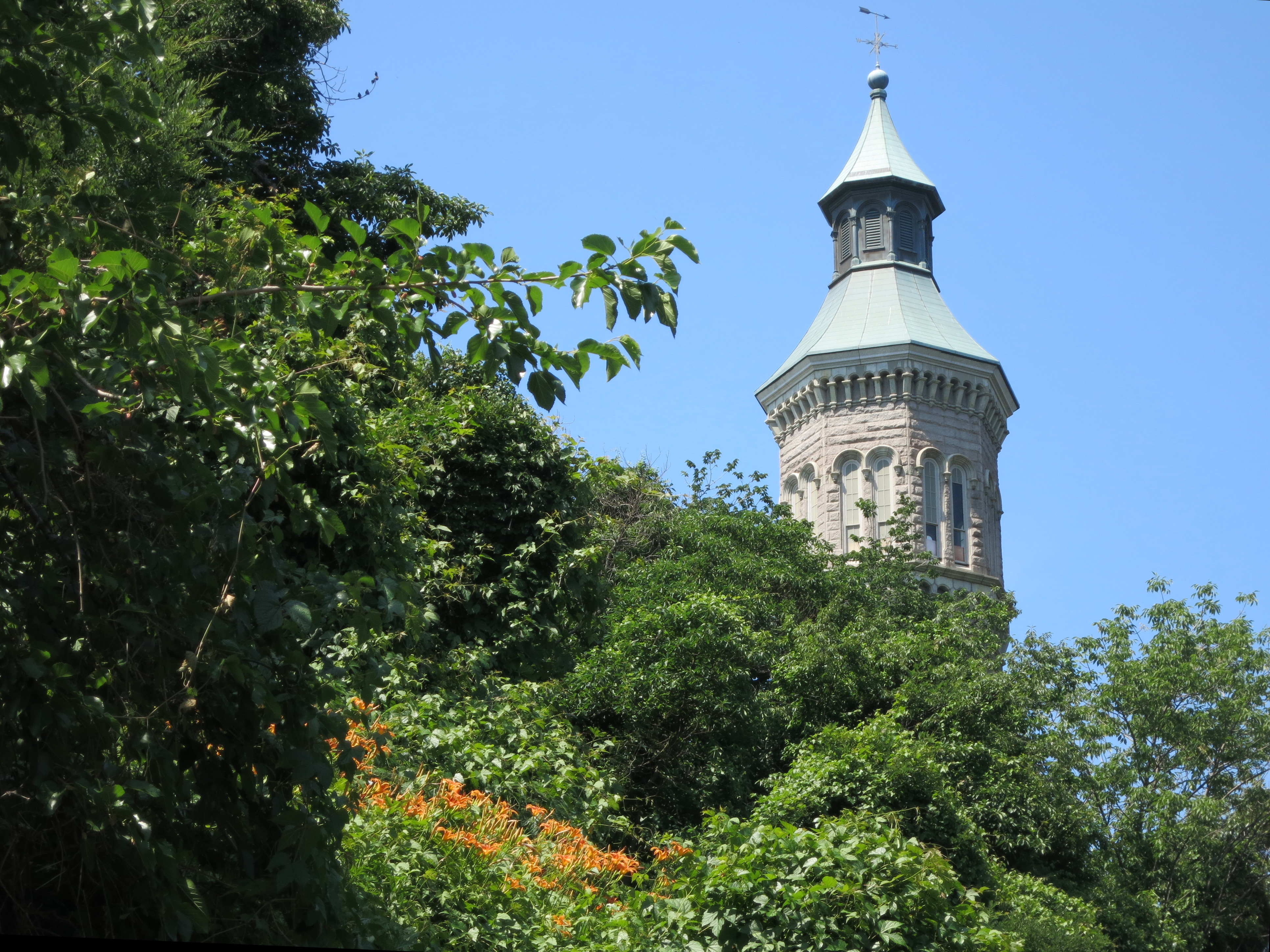 |
| Highbridge Tower as seen from the OCA (Click for large image) |
University Avenue
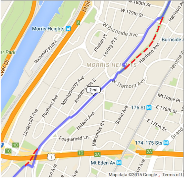 |
| Original OCA path shown in red (click for large image) |
The Aqueduct Greenway
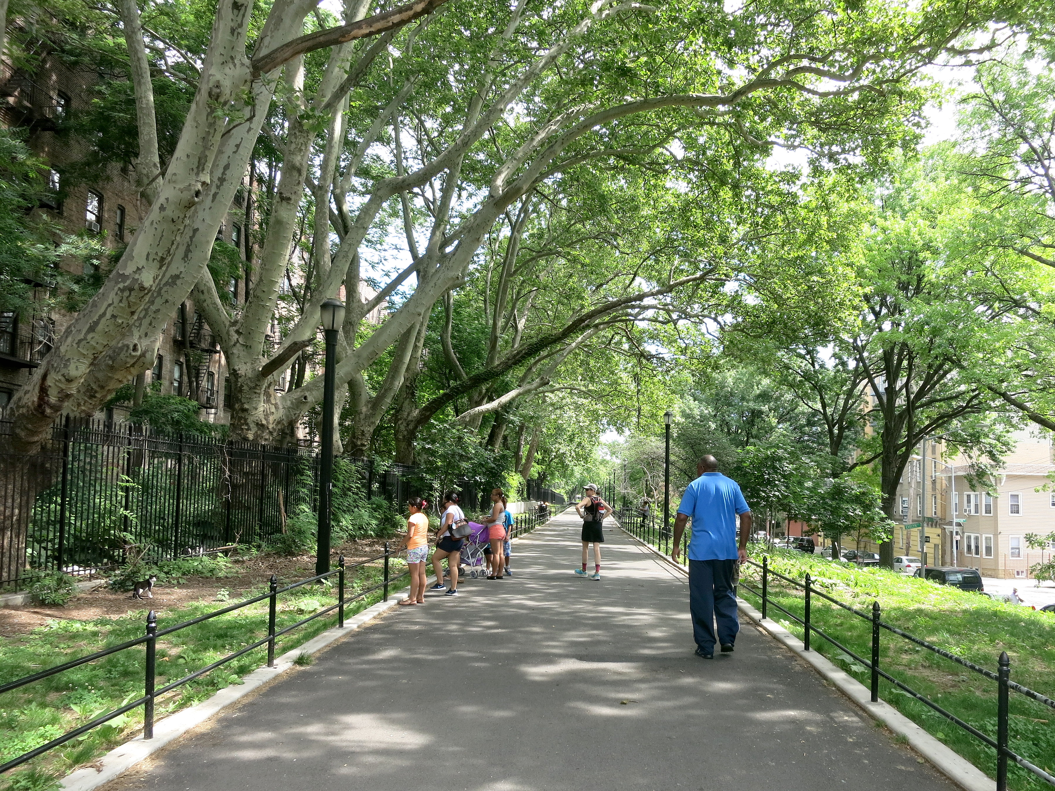 | |
| The Aqueduct Greenway (click for large image) |
Reservoir Avenue and the Jerome Park Reservoir
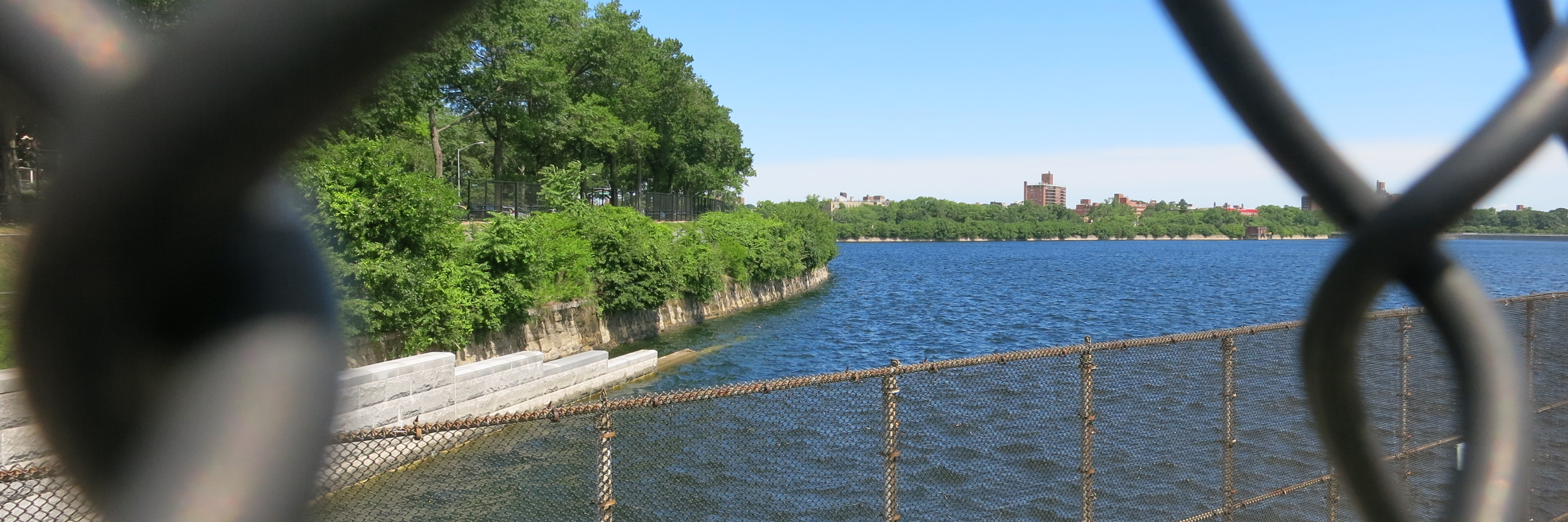 |
| Looking through the fence at the reservoir (click for large image) |
Brunch
 So after we completed the OCA section
(which ends at the southeast part of the park where the Mosholu Parkway
enters the park — see the map), we followed a path along the south side
of the park down to
Broadway, and then down to 238th Street and up to
- our Bronx favorite. Two pictures are worth 2000 words:
So after we completed the OCA section
(which ends at the southeast part of the park where the Mosholu Parkway
enters the park — see the map), we followed a path along the south side
of the park down to
Broadway, and then down to 238th Street and up to
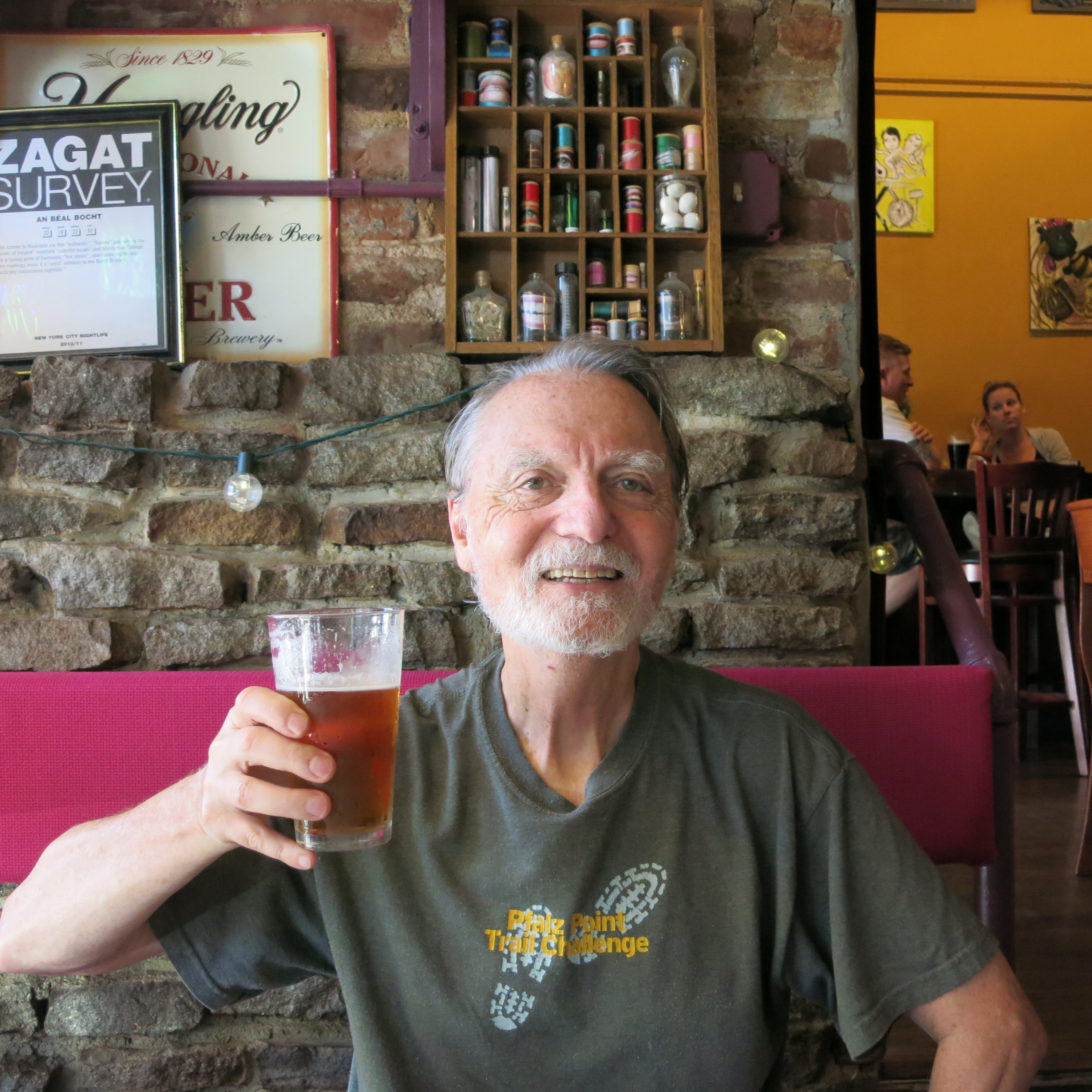
- our Bronx favorite. Two pictures are worth 2000 words: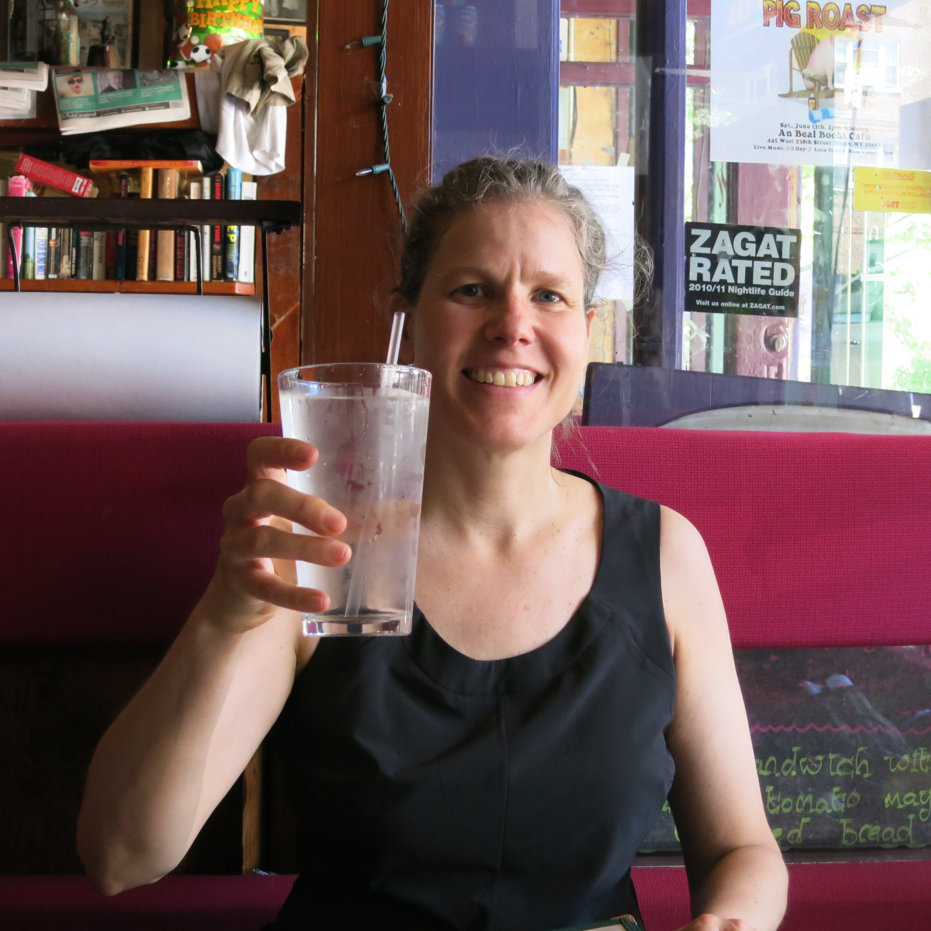 Melissa |
 Me |
The OCA and the Jerome Park Resevoir
When I ran with Melissa we ran along Goulden Avenue which runs just to the west of the reservoir.The following weekend when I ran with Ed, we went along the other side of the reservoir. I really never thought about where the OCA went, other than more or less in the north end and out the south end of the reservoir and ultimately to Kingsbridge Road, across from the Kingsbridge Armory. But some of the parkland along Reservoir Avenue (Ed's route) looked a lot like the OCA sections further south between Kingsbridge Avenue and the Harlem River. So I did a little research and found out a couple of interesting tidbits (see ) from the NYC Department of Environmental Protection (aka NYC DEP) web site.First off, in the 1870s when this part of the Bronx became part of NY City, none other than Frederick Law Olmsted, one of the designers of Central Park, laid out a plan for the streets and parkland in this area. Much of that plan was accepted and the lovely streets and parks Ed and I discovered in our run west of the reservoir reflects Olmsted's design.
Then in the decades following, when the New Croton Aqueduct (aka the NCA) was being built and the reservoir was designed, it was intentionally fit into this plan. I know, first we introduce the Old Croton Aqueduct, and now there's a New Croton Aqueduct! Seems like NY City never has enough water.
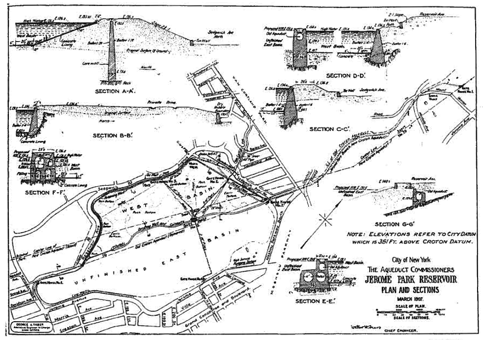 |
| 1907 Plan for the Jerome Park Reservoir (click for large image) |
And lastly, the original plan for the reservoir was to have a portion east of the present day Goulden Avenue as large as, or larger than the portion actually built. See the 1907 design plan to the left. Due to politics and budgets the "East Basin" was never built and the land already taken was eventually given over to other city departments. So all the schools from Dewitt Clinton High School, Bronx High School of Science and Lehman College are sitting in the old East Basin. The unbuilt part was originally designed to go all the way south to Kingsbrige Road to the site of the Armory (built in 1912 after the East Basin plan was scrapped).So what was once a wall dividing the West Basin (built as designed) and the
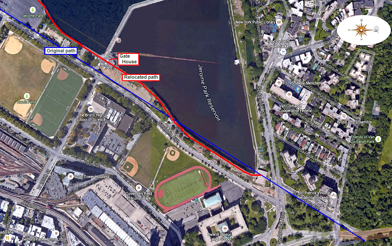 |
| The OCA and the Jerome Park Reservoir (click for large image) |
The OCA originally ran through farmland near where this wall was to be built, so they relocated the OCA slightly and put it inside the east basin wall, mostly to protect it. Look carefully at the 1907 plan above left and you can see the dotted line for the original OCA path and the East Basin wall built very close to it. Here's a Google Earth screenshot which I have annotated to show the relocated path of the OCA from the Gate House to Van Cortlandt Park: (the original path is shown in blue, the relocated path in red).
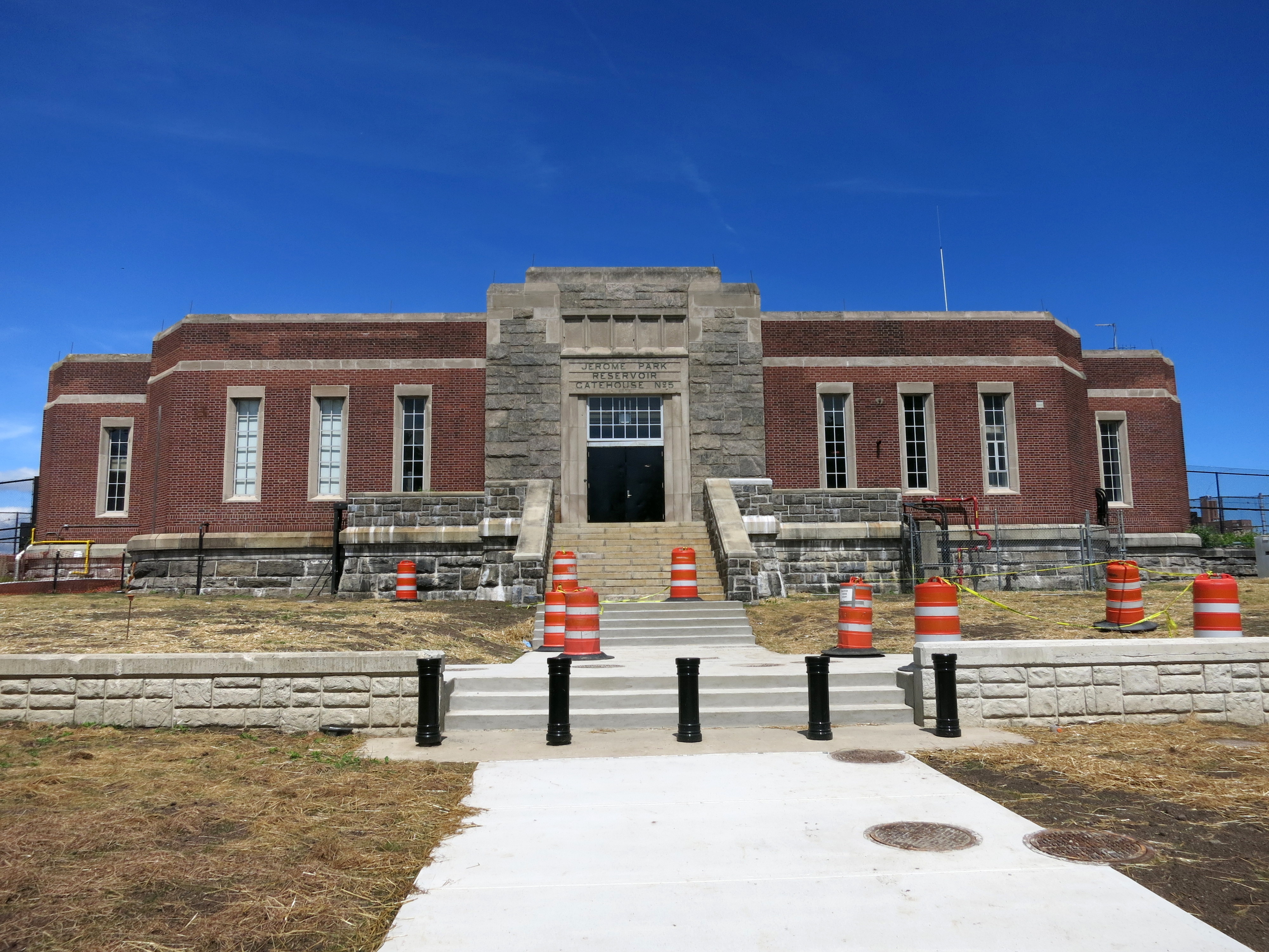 |
| Jerome Park Reservoir Gate House (Click for large image) |
And for obsessives like myself who want to "get it right" when doing an OCA run, just running along the Goulden Avenue sidewalk is fine. Don't attempt to run along the reservoir wall. It's between two fences and you might get arrested as a terrorist, or at least as a wacko!
Besides, in places the Goulden Avenue sidewalk is closer to the original path of the OCA anyway! 
That's me. Come join me next run,
Papa Bear


0 comments:
Post a Comment